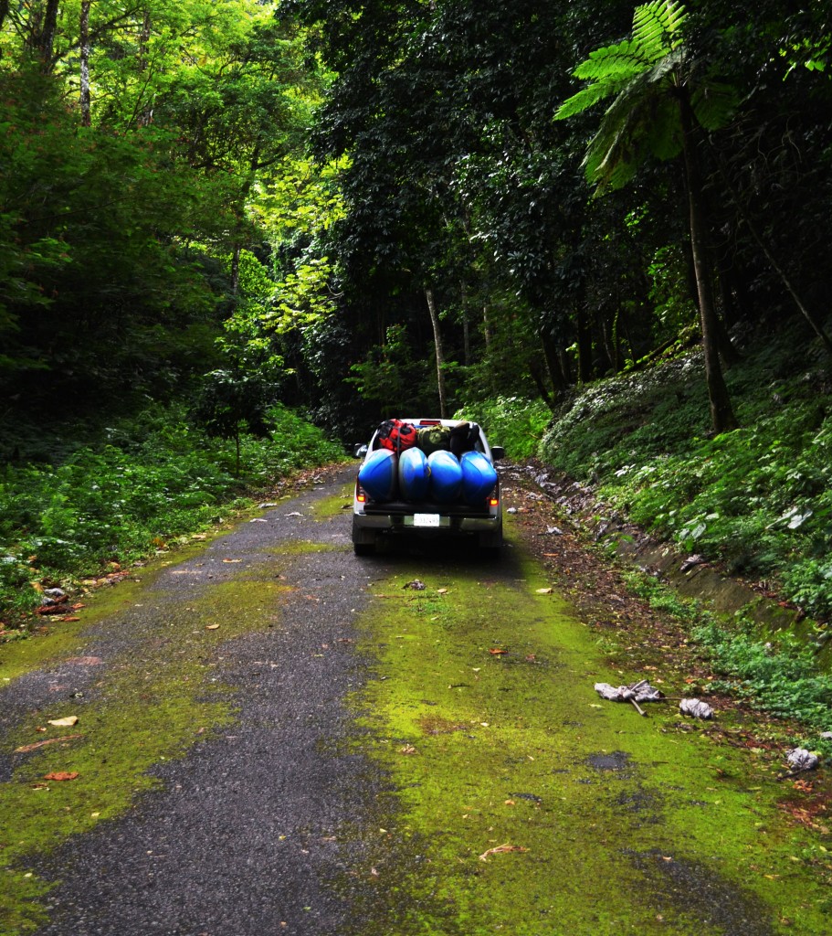
Below: The road to the put-in is so infrequently driven it is almost completely taken over by moss. Photo by Steve Krajewski.
In December of 2015 Matthew Beauchamp, Steve Krajewski, Shannon Goshorn, and I headed to the island of Hispaniola to check out the rivers of the Dominican Republic. Although the island was experiencing a pattern of dry weather, we still found options to paddle daily and enjoyed a great time in this lesser known paddling destination. If you missed Part I which included pictures and video from the Rio Yaque del Norte, you can find it HERE.
Below: Adam Goshorn in the second half of the rapid that leads to the tightest part of the canyon. Photo by Steve Krajewski.
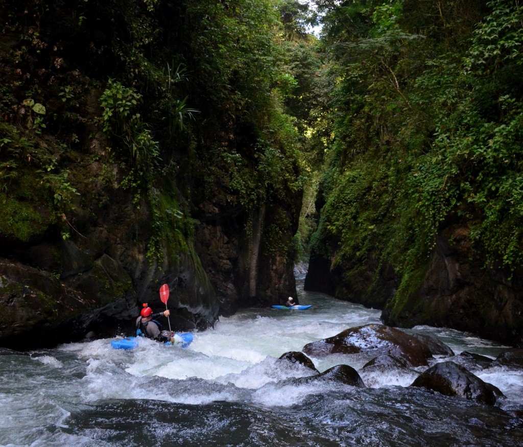
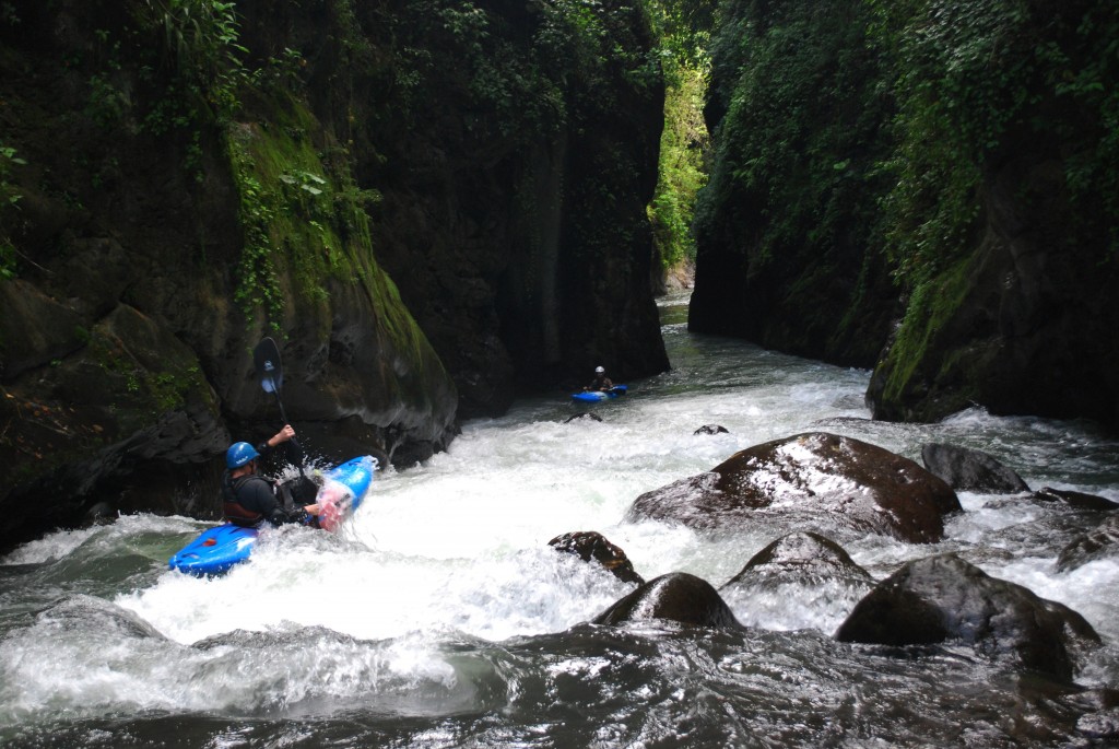
The Rio Blanco flows out of the steep mountains east of the city of Banao, almost in the center of the country. We were presently surprised at how great this section of river turned out to be! In fact, we liked it so much we ended up spending four days of our trip paddling the Rio Blanco. There are a number of things that make the Rio Blanco unique. First, it cuts an impressively deep and beautiful canyon with vertical walls that narrow to a width of less than twenty feet across in places. Secondly, the lower section of the Rio Blanco benefits from what is more often a nemesis of whitewater paddlers… a hydroelectric project.
Below: Matthew Beauchamp probing a boof on our first run. Photo by Adam Goshorn.
The unfortunate thing is that the hydroelectric project on the Rio Blanco dewaters the upper section of the river, making it only runnable during larger floods when they open the flood gates. However, the fortunate part for kayakers is that the hydroelectric generating station also provides daily runnable flows for the lower section, a section that surely would not be runnable nearly as often otherwise. The result is a dependable, dam-released, jungle paradise!
Below: Steve Krajewski and Matthew Beauchamp getting back in their boats after a quick scout on our first run. Photo by Adam Goshorn.
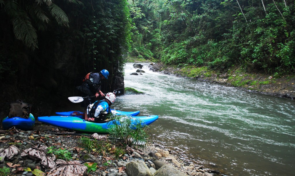
Our first attempt at figuring out how to access the Rio Blanco was a little bold and a little silly. We drove down the road towards the power plant until we came to a closed gate and then we walked around the gate with our boats and down the rest of the road to the power plant itself. The power plant is located high atop a cliff overlooking the river and not a good access point (and supposedly off limits anyway). Lucky for us, no one was around so we explored the area and eventually found a trail that led downstream behind the power plant, where we scrambled down a steep, overgrown gully to the river and put on.
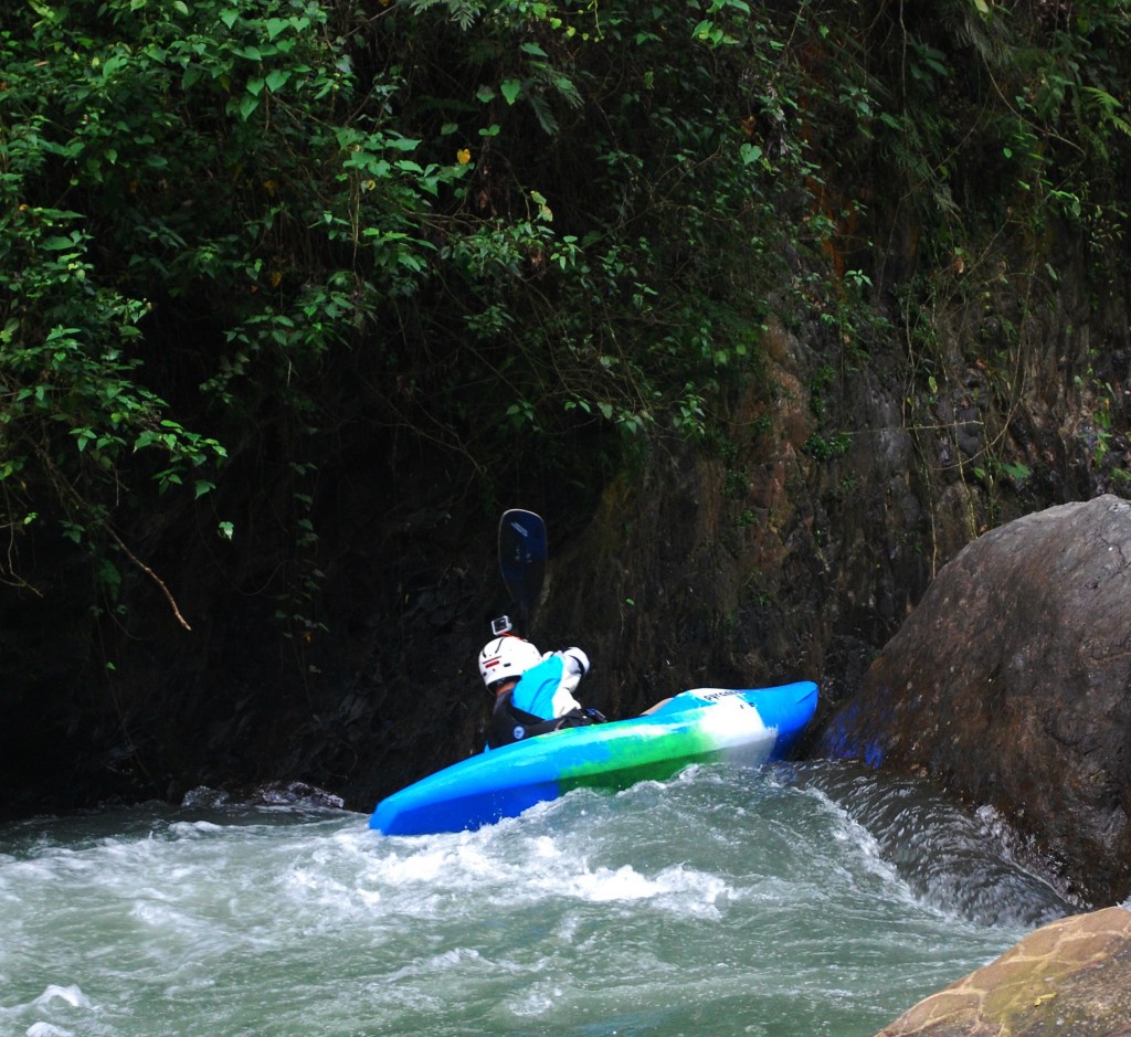
Below: Steve Krajewski boofing into the heart of the canyon. Photo by Adam Goshorn.
On the next run we were stopped by the guards at the gate, but talked to them a bit and eventually they showed us a trail near their guard house that led all the way to river level. The only catch to this new put-in was that it was a quarter-mile upstream of the power plant. The result being that we would have to scrape down part of the dewatered section of the river and then ferry across the powerful outflow from the power plant. Once we did it a few times, we got quite efficient at this process and it would only take us about 20 minutes to hike in, scrape the quarter-mile to the power plant and make the ferry at the power plant, but the process made it feel like a mini expedition every time we paddled the Rio Blanco.
Below: This video is a competition of footage from multiple runs, but the rapids are shown in order. Edited by Adam Goshorn.
Stay tuned for part III which will feature the Upper Rio Jimenoa!
Until Next Time…
-adam
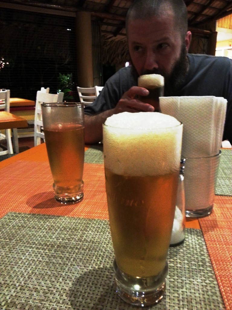
Below: Post boating refreshments in the city of Banao. Photo by Shannon Goshorn.
